
Cibolo Street Directory Starting Point
The strongest street-by-street trail starts with one verified Cibolo address, not a guessed name. Normalize the number, street name, suffix, and unit first. The Guadalupe Appraisal District can then tie the address to a parcel card, and its Property ID, Geographic ID, situs, and legal description become durable research keys. Use the street directory as an address-records route: it can show documented ownership and parcel relationships, but it cannot turn a tax account into a complete household list.
- Search Guadalupe AD by the whole address. If that fails, try the street number and name, then the street name alone without the street type.
- Save the Property ID, Geographic ID, situs address, subdivision, and legal description from the returned parcel card.
- Open the mapped parcel and inspect the adjoining boundaries one at a time, keeping the map view separate from any claim about occupancy.
- Use the owner name and legal description in the County Clerk indexes to identify recorded transfers, plats, and prior references.
- For a past address question, compare a dated directory or newspaper source with the deed and parcel trail rather than treating one result as final proof.
This sequence keeps Cibolo street research anchored to the land record. It also makes mismatches easier to spot before a street name, postal label, or owner name is carried into another search.
Cibolo Street Directory Parcel Fields
Guadalupe AD offers By Owner, By Address, ID, and Advanced search modes. For an address search, the whole address is the first try. Its instructions then suggest a street name plus number, or the street name alone. The Advanced form is useful when a long Cibolo street needs to be narrowed by subdivision, neighborhood, or Geographic ID. Results may be downloaded as CSV or sent by email, but each row still needs a check against the intended city area and legal description.
| Guadalupe AD field | Format | Street-directory use |
|---|---|---|
| Street Number | Text field | Narrows a street search to one address. |
| Street Name | Text field | Finds a street segment; omit the street type if formatting blocks a match. |
| Property ID | Text field | Links a saved parcel card back to the appraisal search. |
| Geographic ID | Text field | Preserves a parcel key for map and appraisal work. |
| Subdivision | Autocomplete/list control | Separates the same street name across platted areas. |
| Neighborhood | Autocomplete/list control | Limits a broader address search to an appraisal area. |
A parcel card can include owner, agent, mailing address, values, exemptions, Map ID, zoning, legal description, and an abstract or subdivision field. The situs is the physical parcel location. A mailing address is where the tax notice goes, so it can be a useful lead without showing who currently lives at the Cibolo address.
Cibolo Streets in the Parcel Map
The Guadalupe appraisal map accepts a Property ID, text for a name or part of a street address, Mapsco, neighborhood, subdivision, and a radius after a map location. Text search can locate a street segment. Zoom in until property-boundary features appear, then click a target boundary for the map-to-property link. The map also provides Property Boundaries, themes, measurement tools, analysis controls, print options, dated aerial imagery, zoning information, and FEMA flood-hazard layers.
See the Guadalupe County GIS page for the county mapping contact and access route.
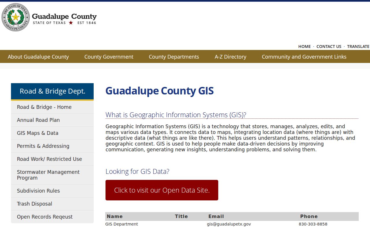
The county route supports map research, while the appraisal map supplies the parcel-level view needed to follow a Cibolo street one boundary at a time. Map analysis is capped at 1,000 results, and personal property, mineral property, mobile-home property, or newly unmapped real property may not appear.
Cibolo Street Directory Record Coverage
Several custodians hold address-keyed pieces of a Cibolo street record. Their fields answer different questions. The appraisal roll is current parcel context, the map is spatial context, and the deed index is a transfer history. A permit, code report, or voter record should be read with tighter limits. Keeping those layers separate prevents a street directory search from overstating what any one source proves.
| Address record | Local keeper | Useful field or event | Access route |
|---|---|---|---|
| Appraisal parcel | Guadalupe AD | Owner, mailing and situs addresses, legal description, IDs, neighborhood | Free online search, CSV or email export |
| GIS parcel | County GIS and GAD map | Boundary, aerial, themes, and adjacent parcels | Map text search, zoom, and parcel clicks |
| Deed or deed of trust | Guadalupe County Clerk | Grantor, grantee, recording date, lien, and legal description | ROAM, QuickLink, office, or archival route |
| Plat or subdivision record | County Clerk and development records | Lot, block, unit, street, and easement references | Index, image, or counter |
| Cibolo MGO permit | City permit system | Address, project type, status, issue date, inspections, and public documents | Address, name, or permit-number search |
| Code concern | Cibolo Code Enforcement | Public location, report, photo, and status where available | SeeClickFix status or PIA request for an existing file |
Property and Geographic IDs tie the first two rows together. A legal description ties the parcel to a plat and recorded document. Those keys are more reliable than assuming a similar street label identifies the same land.
Cibolo Street Records in ROAM
For a present-day address chain, the County Clerk’s ROAM index covers records from 1970 forward. Search the known owner as a grantee around the likely purchase period, then read the seller, legal description, recording date, document number, book or page, and prior-deed references. Search that seller as a grantee to locate the earlier acquisition. Texas indexing uses both grantor and grantee paths, so both directions matter when an owner name or document reference is incomplete.
The Guadalupe County Clerk Official Public Records page is the source for the current and historic index routes.
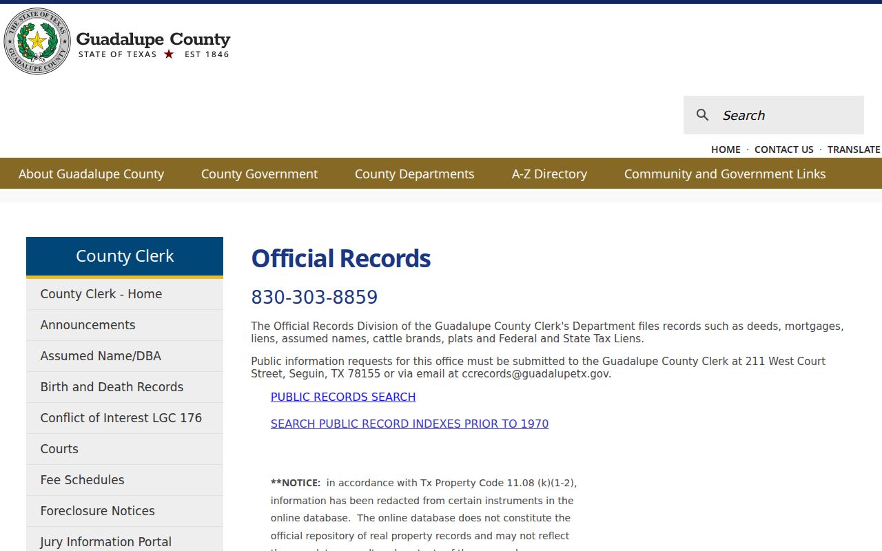
ROAM is an index, not a title opinion. The Clerk cautions that the online database may contain redactions and is not the complete or unaltered official repository. When the index alone does not settle a document question, request the existing record from the Clerk or use an appropriate archival holding.
Cibolo Street Addresses and Plats
Cibolo’s subdivision-driven growth makes the legal description especially valuable. Records may name Cibolo Valley Ranch, Four Leaf Park, George Schlather, Northside-Cibolo, or an abstract and survey instead of relying on a street address alone. A recorded plat can connect a lot and block to the street label used at the time. Keep the parcel identifiers with the address whenever a street search moves into a deed or plat index.
- Parcel
- A defined piece of property represented on an appraisal card and, when mapped, as a boundary on the parcel viewer.
- Situs address
- The physical location assigned to the parcel. It is the address to use for a Cibolo street and map search.
- Plat
- A recorded map that can show a subdivision’s lots, blocks, streets, and easements.
- Criss-cross directory
- An address or street section of a historical directory that may connect an address to a dated occupant listing.
Cibolo Street Permits by Address
Cibolo MGO searches by address, name, or permit number. A public result can show a project type, status, issue date, inspections, plan documents, or review letters. That makes permits useful for placing construction or an alteration in time. It does not establish a complete resident history, because the applicant can be a contractor, owner, or agent. For a missing public record, a Texas Public Information Act request should name the address, permit number if known, date range, and existing files sought.
The Cibolo MGO permit search supplies the address, name, and permit-number entry points.

Permit information adds dated property context to the street directory trail. It should remain a separate layer from parcel ownership and from any conclusion about who occupied an address.
Cibolo Street Directory Continuity
When an address is hard to match, preserve the exact USPS result and the assessor’s situs string, then test street-type variants and nearby postal-city labels. Capture subdivision, lot, block, unit, abstract, and survey fields before searching deeds and plats. A postal ZIP change or an annexation does not necessarily change the legal description. The GIS and Property IDs are often the more stable bridge.
No official Cibolo street-renumbering year or citywide renaming schedule was located. Do not assign a historical year to an address change without confirmation from the City Secretary, older plats, or historical directories. That gap is a reason to search old and current street names alongside the legal description, not a reason to assume a parcel disappeared.
Cibolo Street Directory Historical Clues
Older street questions often need a regional directory, census, newspaper, or tax-roll layer after the legal description is stable. There is no verified standalone Cibolo city-directory run in the inspected official catalogs. Seguin catalog leads for 1976 and 1978, and TSLAC holdings for 1982 and 1985, are practical starting points, but Cibolo can appear under Seguin, Schertz, rural Guadalupe County, or a postal-city label. The historical collections themselves are described on the Cibolo city directory page.
For older news and obituary context, Seguin Public Library has Gazette-Enterprise microfilm from the late 1890s and digital NewsBank access from 2005 forward. A directory or newspaper is a dated snapshot. Compare it with a deed, parcel card, permit, probate item, or other appropriate record before treating it as occupancy proof.
Cibolo Records Across 1970
Guadalupe County’s deed route has a useful split. ROAM supplies the current index from 1970 forward, while Kofile QuickLink’s historic land-record index books cover 1832 through 1970. A 1969 document can therefore be the last historic-index step and a 1970 document can appear in ROAM. The boundary is an access boundary, not a break in the parcel’s ownership story.
QuickLink has narrower historic fields, including document type, year, party selection, surname, and optional given name. Search surname variants and document type or year, then request the underlying book, page, or image when needed. For early land, TSLAC documents Guadalupe deed books and direct and reverse index reels, while predecessor Gonzales County material may matter for a rural tract.
Cibolo Street Directory Privacy Limits
A Cibolo street directory cannot show every person connected with an address. Appraisal records identify owners and tax accounts, not all household members. A mailing address can point to an entity, family member, attorney, or another property. Individual voter status lookup requires an exact first name, last name, and date of birth, so it cannot browse a street. Protected voter addresses can be withheld or displayed as asterisks, and DMV, utility, and delivery records are not public street rosters.
Lawful use. Use Cibolo street and parcel records for personal, lawful research, family history, property context, or civic questions. Do not use an address trail to stalk, harass, intimidate, or expose a living person.
For an existing county record that is not online, the documented fallback is a written request to the Guadalupe County Clerk at 211 W. Court Street in Seguin or at ccrecords@guadalupetx.gov. The Clerk does not conduct title searches or determine ownership, so an ownership dispute needs qualified legal or title help.