
Cibolo ZIP Code Directory Coverage
The Cibolo ZIP code directory begins with 78108 as the primary postal area. The city edge can bring 78124 into an address check near Marion and Santa Clara. The other labels below are regional context only. They should never be assigned to a Cibolo address from a broad map, Census geography, or a third-party listing. Confirm the complete address through USPS first, then use the returned mailing result as the postal format.
| ZIP | Areas covered | Post office or postal city | Notes |
|---|---|---|---|
| 78108 | Primary Cibolo area, with some adjacent Schertz-addressed postal geography | Cibolo | Standard ZIP; the official Texas reference maps it to Cibolo |
| 78124 | Eastern and southeastern Cibolo edge, plus nearby Marion and Santa Clara geography | Marion | Edge case; verify the exact street through USPS |
| 78154 | Nearby Schertz and Selma geography | Schertz | Regional context only after a USPS result, not a default Cibolo assignment |
| 78155 | Seguin and southeast Guadalupe County geography | Seguin | Regional context only after a USPS result, not a default Cibolo assignment |
Postal place names are delivery labels. They are not incorporated-boundary findings and they do not settle whether the record path is city, county, or another jurisdiction. For records work, retain the returned postal city alongside the situs address and legal description instead of trying to make one field do every job.
Cibolo ZIP 78108 as the Default
The research identifies 78108 as the main Cibolo postal label. That is a starting point, not a city-limit test. A postal dataset can allow a Schertz alias in nearby geography, while a parcel's situs and its governing body remain separate questions. The practical record trail remains county-centered because Cibolo is in Guadalupe County, even when a nearby mailing label points to another city.
Use the primary label to normalize a known address before opening a property record. Then compare three fields. The situs is the physical parcel location. The mailing address is where the tax notice goes. The legal description is the land identity, often a subdivision, unit, lot, block, or abstract and survey. A matching ZIP does not collapse those distinct facts into one answer.
Cibolo ZIP 78124 at the Eastern Edge
78124 matters around the eastern and southeastern Cibolo vicinity because its postal city is Marion and local ZIP datasets can also show Cibolo or Santa Clara. The research does not support calling it a second default Cibolo label. Treat it as an edge-address question. A complete address can be in or near the city while its preferred postal city, municipal status, and record custodian do not share the same wording.
78154 and 78155 deserve even more restraint. They appear in broader Census or regional geography around Cibolo, but 78154 is associated with Schertz and 78155 with Seguin and southeast Guadalupe County. Use either label only after USPS validates the address. A statistical area is helpful for context, not a postal fact for a particular mailbox.
Note: A postal-city result and an incorporated city limit can differ even when the county jurisdiction for a parcel remains Guadalupe County.
Cibolo ZIP Address Verification
The USPS ZIP Code Lookup is the postal verification layer. Enter the complete street address with city and state, or use a known ZIP, then preserve the returned preferred city and ZIP as the mailing-format result. Do not replace that result with a Census ZCTA, which is a statistical approximation rather than an address-by-address delivery boundary.
- Enter the full street address in USPS and record the returned mailing city and ZIP.
- Open the Guadalupe Appraisal District record using the returned address or the street and parcel clues.
- Compare the parcel situs, mailing address, subdivision, and legal description without treating any one as a list of people.
- Use the map only to inspect the geography, then move to the Cibolo street directory for a street-level parcel workflow.
The USPS address lookup is the source for this first verification step.
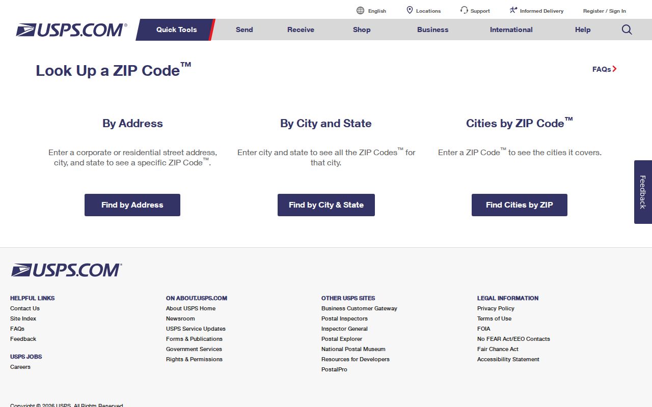
The form verifies a delivery-format result. It is not a source for a Cibolo resident roster or a municipal-boundary decision.
Cibolo ZIP Search Fields and Limits
County tools can narrow parcel geography, but the inspected forms do not provide a simple ZIP browse. The Guadalupe Appraisal District Property Search has no dedicated ZIP field visible in its inspected basic or advanced fields. Its map interface and the county voter lookup also lack one. Use the postal result as an address-control step, then use the fields each official tool actually exposes.
| Tool | Visible search fields or controls | ZIP field | Careful use |
|---|---|---|---|
| Guadalupe AD Property Search | Street Name, Subdivision, Neighborhood, Geographic ID, and address text | No dedicated ZIP field visible | Find parcels by street or subdivision, then inspect parcel fields |
| Guadalupe appraisal map | Property ID, text, Radius, Neighborhood, and Sub-Division controls | No dedicated ZIP field visible | Browse known streets or a map area; results are limited to 1,000 rows |
| Guadalupe voter status lookup | Exact first name, last name, and date of birth | No ZIP field | A point-in-time status check, not a ZIP browse |
| USPS address lookup | Complete street address, city/state, or ZIP | Yes, for verification | Use for mailing format, not to compile people by area |
The Guadalupe appraisal map also offers text, neighborhood, subdivision, and radius controls. It can help visually inspect a known area, but its 1,000-row limit and mapping gaps mean the results are not a complete geographic inventory.
Cibolo ZIP Boundaries and City Limits
A ZIP code is a postal-delivery construct. Cibolo city limits are a municipal boundary. Guadalupe County is a county jurisdiction. These lines can cross without matching. A Cibolo-named postal area can include parcels outside the incorporated city, and a Cibolo parcel can carry a nearby postal-city label. The county record route may still be Guadalupe even when the mailing city says Schertz or Marion.
The Guadalupe County profile is useful context because Cibolo sits among several cities and unincorporated communities. It does not replace a postal verification or a parcel-level jurisdiction check.
The county geography profile supplies the regional context for this boundary caution.
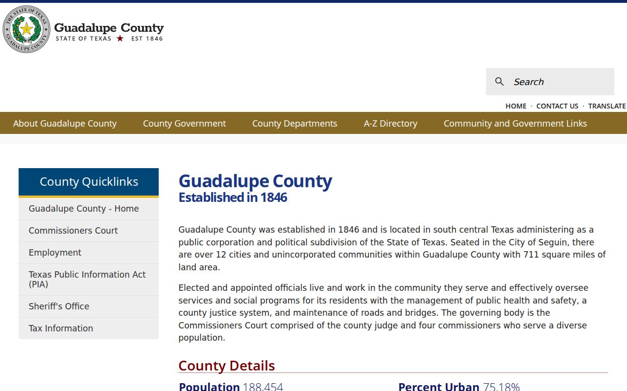
The county view helps explain why a Cibolo address search needs separate postal, municipal, and county checks.
Cibolo ZIP Address Keys in Parcel Records
Parcel research gets clearer when its address keys remain separate. The physical situs belongs in a map or street search. The mailing address can point to a tax-notice recipient elsewhere. The legal description keeps the land identity stable through postal-label or street-format changes. Guadalupe AD recommends trying a whole address first, then a street name with number, then a street name alone when formatting blocks a match.
- ZIP versus ZIP+4
- The main delivery area and a more precise delivery add-on; neither one is a city-limit line.
- PO-box ZIP
- A postal label for post-office boxes, which should not be treated as a physical parcel location.
- Unique ZIP
- A label assigned to one institution or high-volume receiver, not evidence of a neighborhood boundary.
- Carrier route
- A delivery-routing segment that can aid postal operations but does not define municipal geography.
For a Cibolo parcel, record Property ID or Geographic ID as well as the address strings. Those identifiers are more durable than an assumed postal label when a search crosses a city edge or a subdivision boundary.
Cibolo ZIP Mapping with County Tools
The Guadalupe County GIS route and the appraisal map provide geographic support after an address has been verified. On the map, text can locate a name or street segment. A researcher can zoom until parcel boundaries appear, click the target polygon, and use the linked parcel fields. Neighborhood and subdivision analysis can help define a manageable area without pretending that the result is a ZIP-based public list.
Map results carry limits. Personal property, mineral property, and mobile-home property may be unmapped, and a feature may not display until the map is sufficiently zoomed. The map uses parcel geography, while postal delivery may follow a different pattern. Preserve the source URL and search date when recording a location finding.
Cibolo ZIP Geography Has a Growth Context
Cibolo's growth helps explain why postal labels, subdivisions, and parcel records deserve close comparison. Census QuickFacts reports 15,349 residents in 2010, 32,276 in the 2020 Census, and a 2025 estimate of 39,019. Newer subdivisions can have rich appraisal and GIS records while older regional material uses Seguin, rural Guadalupe County, or another postal heading. Numbers provide context for changing geography, not a way to count people in a delivery area.
The Census QuickFacts display for Cibolo is the source for the growth figures.
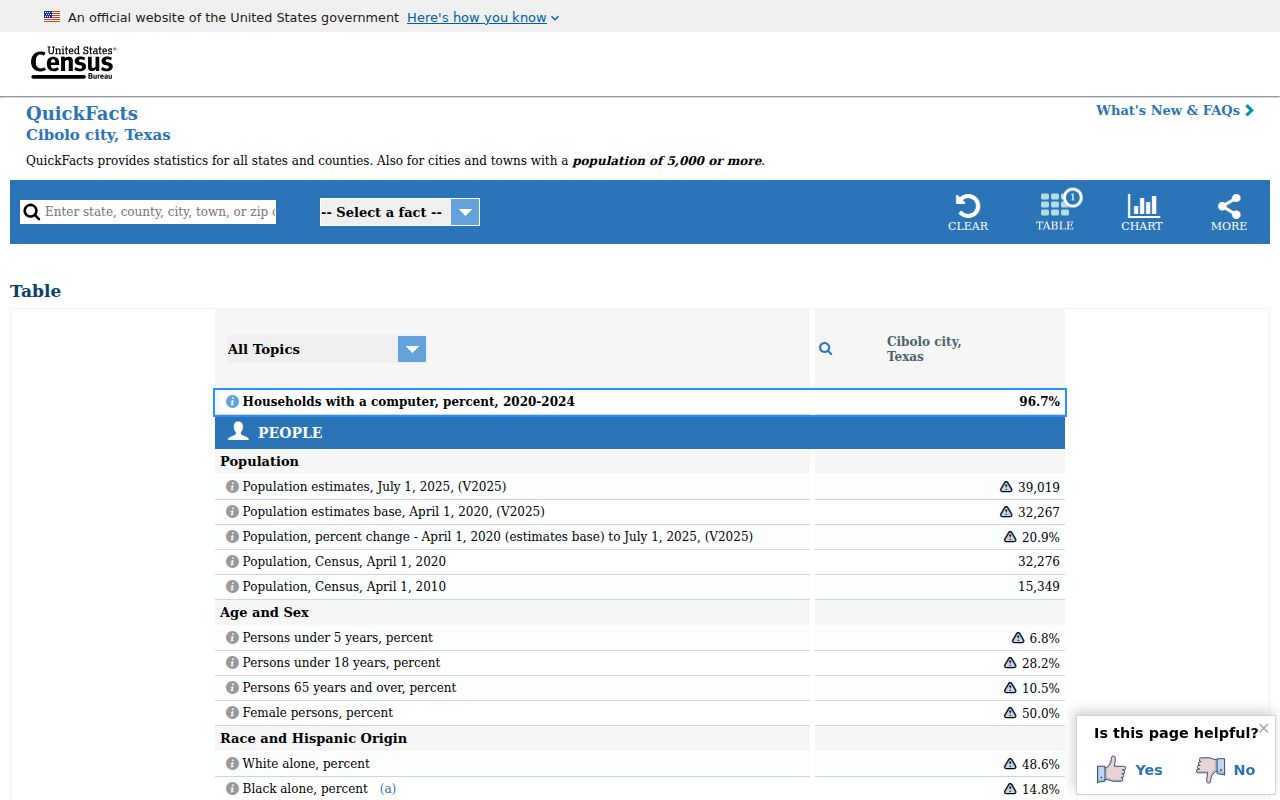
The population display gives place-level context only; it does not draw postal boundaries or validate a particular address.
Cibolo ZIP Labels in Historical Records
Older directories and historical records can use a postal-city label that differs from the modern Cibolo result. Search the known surname, street suffix, subdivision, abstract or survey, and the regional terms Cibolo, Schertz, Seguin, Marion, Santa Clara, and Guadalupe County. The research did not locate an official ZIP split, realignment, citywide renumbering, or street-renaming chronology for Cibolo. Do not assign a year to any of those changes without a USPS, City Secretary, County GIS, or archival record.
When an old address does not match a modern postal return, use the legal description and parcel identifiers as the bridge. The Texas State Library and Archives Commission directory guide is useful for regional directory terminology, but a historic postal label still requires corroboration from the record set that created it.
Cibolo ZIP Results Need a Source Note
A sound result records what was verified and what remains open: USPS mailing result, parcel situs, legal description, county, municipal relationship, source URL, and search date. A property owner field is not an occupancy list. The individual voter lookup requires exact first name, last name, and date of birth, so it is not a ZIP search. Formal voter-file requests have lawful-use and protected-address restrictions and should never be recast as a casual local roster.
The Guadalupe County voter-status lookup is a narrow confirmation tool, while the Texas voter-information request form governs formal list or extract requests. Keep those systems separate from postal research and respect confidential addresses.